A Beacon of Convenience and Charm in the Heart of Massachusetts
Westwood is in Norfolk County, Massachusetts. ZIP code: 02090. Population: approximately 16,000. Located approximately 17 miles southwest of Boston with two MBTA commuter rail lines serving the town -- the Franklin/Foxboro Line at Islington station and the Providence/Stoughton Line at University Station (Route 128). Westwood's public schools consistently rank among the top 5% in Massachusetts. One of the most sought-after suburban communities in Norfolk County for families prioritizing school quality and Boston commuter access.
Westwood, nestled comfortably in Norfolk County, Massachusetts, is one of the most consistently desirable suburban communities in the Boston metro. Its combination of top-ranked public schools, two MBTA commuter rail lines, 1,400-plus acres of protected open space at Hale Reservation, and a vibrant mixed-use corridor at University Station makes it a rare find for buyers who refuse to compromise.
| County | Norfolk County, Massachusetts |
| ZIP Code | 02090 |
| Population | Approximately 16,000 (U.S. Census Bureau) |
| Location | ~17 miles southwest of Boston; borders Dedham (NE), Norwood (SE), Walpole (S), Medfield (W), Dover (NW) |
| MBTA Commuter Rail | Two lines: Franklin/Foxboro Line at Islington station; Providence/Stoughton Line at University Station (Route 128). Direct service to South Station. |
| Highway Access | I-95 / Route 128 at University Station interchange; Route 109 |
| Schools | Westwood Public Schools -- consistently top 5% in Massachusetts; Westwood High School among top-ranked in the state |
| Open Space | Hale Reservation -- 1,400+ acres of protected land with trails, ponds, and year-round programming |
| Commercial Centers | University Station (Route 128 corridor -- Wegmans, LifeTime, Nordstrom Rack); Islington Center; Westwood Center |
| Notable Private School | Xaverian Brothers High School -- independent Catholic secondary school |
| Nearby Communities | Dedham, Dover, Needham, Medfield |
Sources: U.S. Census Bureau; Town of Westwood; MBTA; Hale Reservation. Property tax rate: verify with Westwood Assessing Dept. annually.
Westwood achieves what few suburban communities can: genuine small-town warmth paired with the commuter infrastructure of a major metropolitan suburb. The community attracts families who prioritize school quality above all else, professionals who need reliable MBTA access to Boston, and residents who value outdoor recreation without sacrificing convenience.
Homeownership rates are among the highest in Norfolk County. The community's close-knit character is reinforced by an active town center, strong sports and recreation programming through the Westwood Recreation Department, and the Hale Reservation which functions as a year-round backyard for residents across the town.
University Station at the Route 128 interchange is Westwood's primary commercial anchor -- a mixed-use development with an exceptional retail and dining lineup. Wegmans anchors the daily needs corridor. LifeTime Fitness provides a state-of-the-art wellness destination. Nordstrom Rack handles fashion. J.Crew Factory rounds out the lifestyle retail mix.
For dinner, Chiara Bistro is a Westwood standout -- cozy ambiance, exceptional Italian cuisine, and a cocktail program that punches above the suburban standard. Islington Center provides additional local dining and services with neighborhood-scale character.
Hale Reservation is Westwood's defining recreational asset -- 1,400-plus acres of protected land with nature trails, spring-fed ponds for swimming, year-round outdoor programming, and summer camp infrastructure that has served the community for generations. It is among the most significant private conservation properties in Eastern Massachusetts.
The town's community events calendar is dense with farmers markets, youth athletics, and seasonal celebrations that reflect Westwood's genuinely close-knit residential character. The Westwood Recreation Department coordinates programming across age groups year-round.
Westwood real estate commands a consistent premium within the Norfolk County market -- driven almost entirely by the school district's reputation and the town's dual MBTA commuter rail access. Inventory is characteristically tight, particularly for single-family homes in the four-bedroom-plus range that dominate demand from school-focused families relocating from Boston and Cambridge.
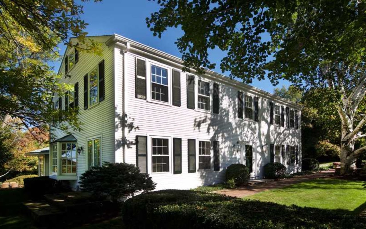
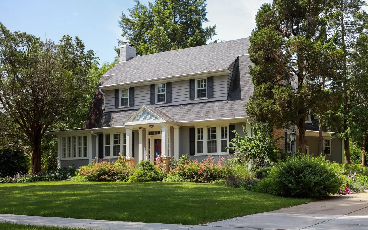
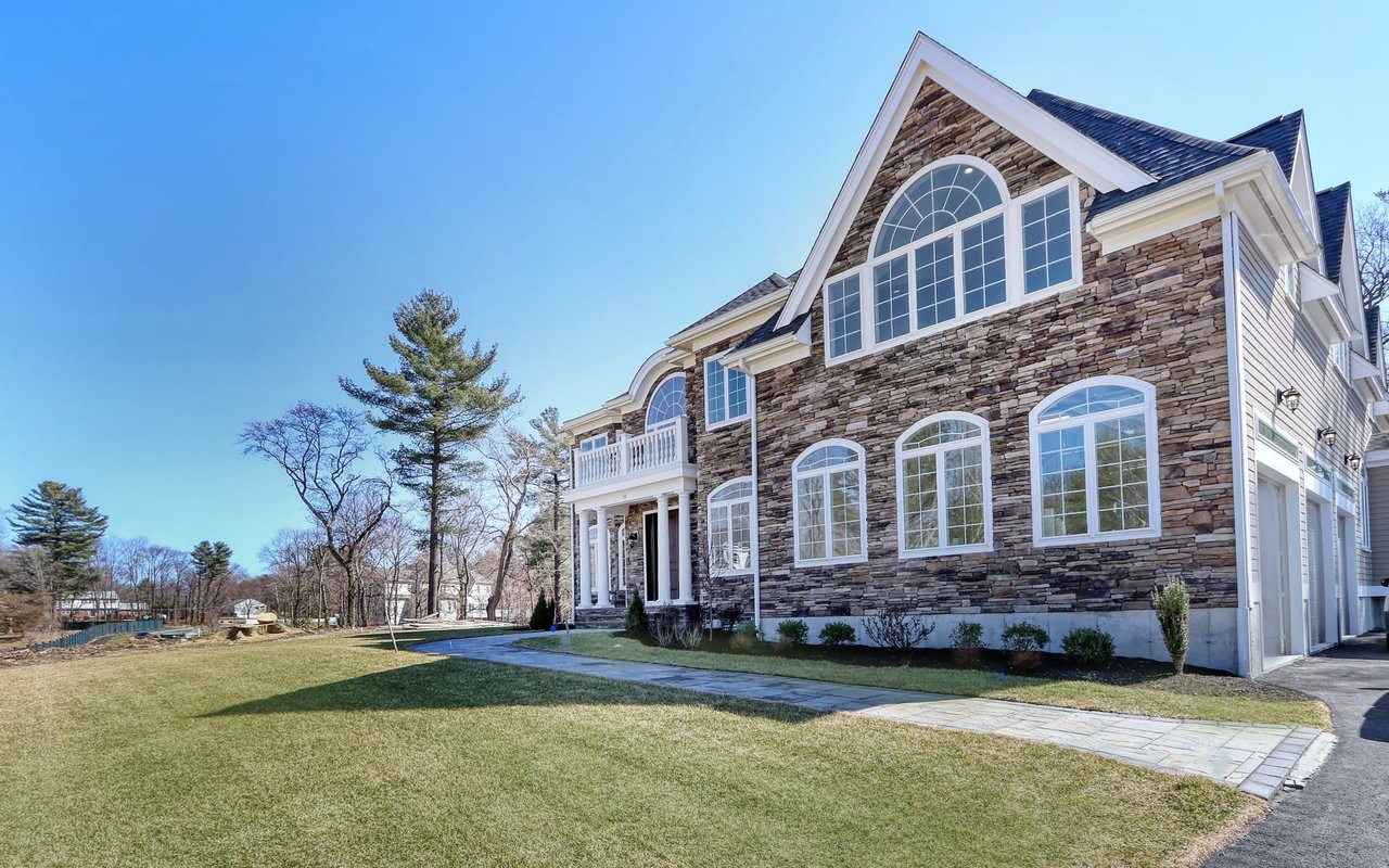
The town's housing stock spans colonial and Cape Cod-style homes in established neighborhoods near Islington, newer construction closer to the Route 128 corridor, and a modest but growing condo and townhome market at University Station. For buyers who have identified Westwood as their target, moving quickly and with pre-approval is essential in this market.
Contact Elena Price to explore current Westwood inventory and off-market opportunities.
Westwood Public Schools are the primary reason most families choose this town. The district serves students from kindergarten through 12th grade and consistently earns top-tier state rankings -- Westwood High School is regularly cited among the best public high schools in Massachusetts for college preparation, AP performance, and overall academic outcomes.
For buyers comparing Westwood to Needham or Dover on school grounds: all three are exceptional. Westwood's advantage is the combination of school quality with two-line MBTA access and University Station retail infrastructure -- a trifecta few communities in the state can match.
What county is Westwood, MA in?
Westwood is in Norfolk County, Massachusetts. Norfolk County encompasses communities including Dedham, Needham, Dover, Medfield, Walpole, Canton, Norwood, and Brookline. Westwood borders Dedham to the northeast, Norwood to the southeast, Walpole to the south, Medfield to the west, and Dover to the northwest.
What is the ZIP code for Westwood, MA?
Westwood, Massachusetts uses ZIP code 02090. This is the single ZIP code covering the entire town including Islington, Westwood Center, and the University Station corridor.
Is Westwood, MA a good place to live?
Yes -- Westwood is consistently ranked among the best places to live in Massachusetts and the Boston metro area. The combination of top-5% public schools (Westwood High School among the best in the state), two MBTA commuter rail lines providing direct Boston access, Hale Reservation's 1,400-plus acres of open space, and a vibrant mixed-use commercial center at University Station makes Westwood one of the most complete suburban communities in Norfolk County.
How far is Westwood, MA from Boston?
Westwood is approximately 17 miles southwest of downtown Boston. By MBTA commuter rail, the commute from University Station (Providence/Stoughton Line) or Islington station (Franklin/Foxboro Line) to South Station takes approximately 30 to 40 minutes depending on the train and service pattern. By car via I-95/Route 128, the drive is typically 30 to 50 minutes depending on traffic. Westwood's dual-line MBTA access is one of the town's most distinctive commuter advantages within Norfolk County.
What are Westwood's public schools ranked?
Westwood Public Schools consistently rank in the top 5% of Massachusetts school districts. Westwood High School is regularly cited among the best public high schools in the state by U.S. News and World Report, Niche, and the Massachusetts Department of Elementary and Secondary Education. The district covers kindergarten through 12th grade with three elementary schools (Hanlon, Sheehan, Martha Jones), Thurston Middle School, and Westwood High School. For many buyers, the school district is the primary reason for choosing Westwood over comparable neighboring communities.
What is University Station in Westwood, MA?
University Station is a mixed-use development at the Route 128 / I-95 interchange in Westwood, anchored by Wegmans, LifeTime Fitness, Nordstrom Rack, J.Crew Factory, and a growing selection of restaurants and services. It is also served by the Providence/Stoughton MBTA commuter rail line, making it a genuine transit-oriented commercial center. University Station has become one of the primary retail destinations in the Route 128 south corridor for Norfolk County residents.
How does Westwood compare to Dedham and Needham?
Westwood, Dedham, and Needham are all Norfolk County communities with Boston commuter access and quality schools, but they occupy distinct market positions. Westwood commands the highest prices of the three, driven by its school district reputation and dual MBTA access. Needham is comparable in price and school quality but has a more urban commercial character around Needham Center. Dedham offers more accessible entry prices with the added advantage of Noble and Greenough School and direct Boston proximity (10 miles vs Westwood's 17). For buyers who prioritize public school quality above all else, Westwood is consistently the strongest case in the corridor. See the Westwood vs Needham comparison guide for a full analysis.
16,213 people live in Westwood , where the median age is 42 and the average individual income is $84,904. Data provided by the U.S. Census Bureau.
Total Population
Median Age
Population Density Population Density This is the number of people per square mile in a neighborhood.
Average individual Income
Westwood has 5,492 households, with an average household size of 3. Data provided by the U.S. Census Bureau. Here’s what the people living in Westwood do for work — and how long it takes them to get there. Data provided by the U.S. Census Bureau. 16,213 people call Westwood home. The population density is 1,997 and the largest age group is Data provided by the U.S. Census Bureau.
Total Population
Population Density Population Density This is the number of people per square mile in a neighborhood.
Median Age
Men vs Women
Population by Age Group
0-9 Years
10-17 Years
18-24 Years
25-64 Years
65-74 Years
75+ Years
Education Level
Total Households
Average Household Size
Average individual Income
Households with Children
With Children:
Without Children:
Marital Status
Blue vs White Collar Workers
Blue Collar:
White Collar:
Real estate is more than looking at homes. You need a local expert that can make the process easier from beginning to end. Whether you are buying or selling, Elena will leverage her 28+ years of experience and connections to get you the most value.
Let's Connect683 High Street Westwood, MA 02090